
Fairfax Neighbors and Block Sources
Public sources answer different block questions. A County map can identify parcels near a starting address. An assessment card can show the displayed owner or entity and sales context. A deed can test whether a boundary, easement, or transfer relates to that parcel. Community names add geographic vocabulary. Each result should stay in its lane. An assessment owner is not automatically the person at the site, and a neighborhood label does not establish a relationship between Fairfax neighbors.
| Source | What It Shows About a Block | Access |
|---|---|---|
| County iCare Map Search | Parcel selection, analytical buffer, map number, assessment link, and a nearby-parcel discovery path | Free County tool; buffer is not a legal boundary and does not cover City parcels |
| MAR Address and Parcel | County-recognized site, parcel relation, current or historical status, street, ZIP, and subdivision filters | Free map and export; no assessment data; City of Fairfax addresses excluded |
| Recorded deed | Legal description, parties, easements, prior references, and recorded boundary context | Research Room, HRC, CPAN, or copy request; recorded instrument controls |
| City WebPro and Accela | City parcel or project-location lead for an address inside the independent city | Free public routes; City systems are separate from County iCare and MAR |
| Association and neighborhood records | Voluntary association route or neighborhood vocabulary, not a household roster | County request-list channel or City staff-maintained resource |
Start by deciding whether the address is in the City of Fairfax or Fairfax County. The City is independent and maintains its own assessment and permit systems. County iCare, MAR, Jade, and My Neighborhood are not a substitute for the City’s records. A postal Fairfax label can cross that line, so the parcel or municipal record, not the mailing city alone, should choose the next source.
Defining Fairfax Neighbors by Method
A defensible neighbor set has a stated geographic rule. Use parcel-touching when the question is immediate adjacency. Use a measured iCare buffer for a selected radius. Use the same MAR street segment only when the search concerns a portion of one road. A subdivision or civic-association label is a wider place category. These methods can produce different results, and none identifies social ties. Store the method, map date, selected radius, and each parcel identifier in the search note.
MAR is the County address-site system, not the assessment roll. It can filter Address, Parcel, and Street searches by address number, street name and type, city, ZIP, parcel ID, subdivision, created and expired dates, and current, historical, or all status. It can export filtered results. MAR also includes parcels with and without addresses. That matters for a common area, access strip, historic remnant, or a parcel whose address changed. A parcel without an address should not disappear from a block review.
Note: Physical proximity is a map relationship, not evidence that people know each other or belong to the same group.
Mapping Fairfax Neighbor Parcels
County iCare address search accepts Number, Unit#, Street, and Suffix. Its help shows that omitting a suffix can help and that an asterisk supports a partial street search. The advanced map route has parcel selection, distance and unit controls, buffer distance, Select By Buffer, Clear Buffer, print or export, and Create Map Image. It is a discovery tool. The County warns that parcel geometry is an analytical convenience, not a survey or title opinion.
- Enter the starting County address or map number. Keep the exact street suffix and unit in the research note before trying a variant.
- Select the starting parcel in the map, choose the distance and unit, then set a documented buffer and use Select By Buffer.
- Open each candidate parcel record to capture the site, map number, owner display status, assessment date, and any public sale context.
- Compare each parcel with MAR status and the recorded deed. Clear the buffer before testing another radius so the two result sets do not merge.
The iCare Property Location form shows the numbered fields and wildcard guidance for a Fairfax neighbors search.
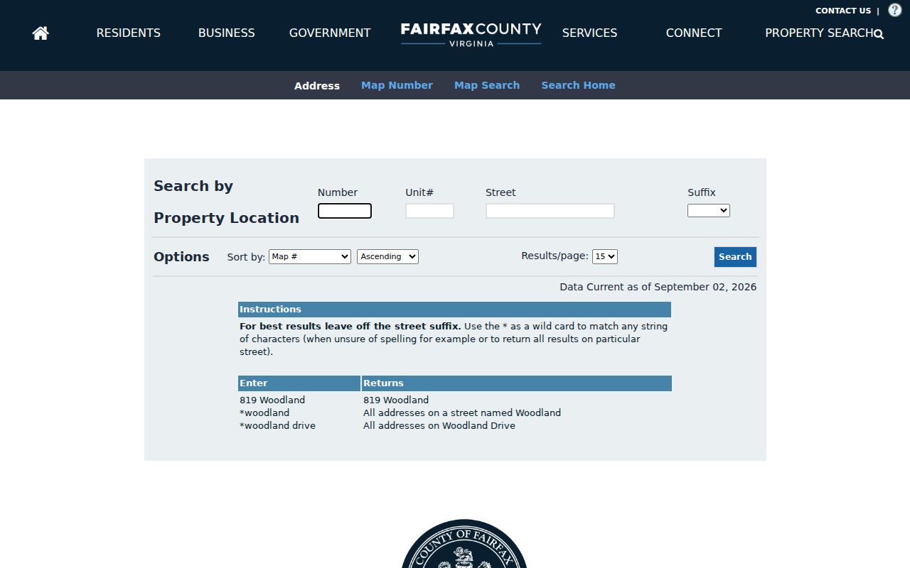
Use the returned parcel as a starting point only, because owner display and assessment data do not prove occupancy or title.
Fairfax Neighbors: MAR and Deed Checks
Fairfax County MAR can confirm whether an address is current or historical and can export a filtered County result. It does not contain Department of Tax Administration assessment data. After a map or address result supplies a parcel relation, record the street status, created or expired dates, ZIP, subdivision, and export date. This is especially useful when a street number was retired or an address appears only in historical records.
The next legal check is the recorded instrument. Fairfax Circuit Court land-record research covers public documents from 1742 to the present. Deed books before 1945 are at the Historic Records Center, and CPAN provides subscriber access for many remote records. Capture the instrument or book and page, recordation date, grantor and grantee exactly as indexed, legal description, easements, and the prior-deed reference. An easement can cross a parcel without making people neighbors in the everyday sense.
For a City of Fairfax site, use City WebPro for the City assessment lead and City Accela for a project-location search. City WebPro can show a parcel ID, location, displayed owner, value, property characteristics, subdivision, sale information, and book or page. Accela accepts a general keyword, record number, address, parcel, or owner search. Neither system is a current resident roster.
Fairfax Neighbor Community Clues
Fairfax County keeps a voluntary database of condominium, cooperative, HOA, and community associations. The County does not regulate membership. Its directory route has separate add or update forms and a request-list channel, so a group appearing there is a locality lead, not proof that a named person belongs to it. City community-policing materials supply another kind of local vocabulary. They list neighborhood names such as Farrcroft, Mosby Woods, Fairchester Woods, Cobbdale, Daniels Run Woods, Pickett’s Reserve, and Wren’s Courtyard.
| Community resource | What to request or record | Limit |
|---|---|---|
| Fairfax County community associations | Association type, geographic name, and the County request-list or update route | Voluntary database; it does not regulate membership or establish a person’s affiliation |
| City community-policing inventory | Exact City neighborhood label for a parcel, directory heading, map, or civic search | Staff-maintained geographic vocabulary, not a public household directory |
| Subdivision on MAR or WebPro | Printed subdivision label, parcel, date, and source system | A subdivision can overlap a civic association or postal description |
Fairfax County’s community-association explanation distinguishes the voluntary association layers behind a Fairfax neighbors inquiry.
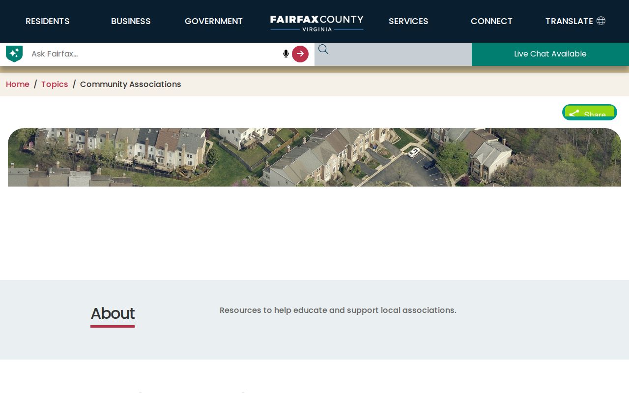
The resource helps choose the right community term, but it should not be used to infer private membership or contact details.
Fairfax Neighbor District Context
My Neighborhood returns an address-based report with voting, schools, police and fire, libraries, post offices, hospitals or urgent care, parks, and nearby crime information. These layers can explain civic geography around a County address. They cannot establish school attendance, political preference, service use, or a personal relationship. Keep the report date and address used because facility and district information can change.
The Virginia Citizen Portal is different. It is a personal lookup that requires name, date of birth, last four Social Security digits, locality, and voter certification. Virginia’s public voter-list rules permit limited fields and defined uses, but no public Fairfax block-level voter-search interface was found in the research. A public list request belongs with the Fairfax Office of Elections and must stay within the purpose limits set by Virginia law. Do not collect or publish authentication fields.
Note: A precinct, ZIP, association label, or nearby public facility describes the area, not any person’s conduct or identity.
Fairfax Neighbors: Official Records Compared
Official sources preserve a clear relationship between a record and its custodian. A map may show an adjoining parcel. An assessment portal may display an owner or entity. A deed can provide legal description and transfer history. Commercial neighbor-search tools combine mixed public and marketing data into a report, often without showing the original custodian, record date, or reason for a match. Their results can carry old addresses, same-name errors, and unverified associations.
| Source category | Best use for a block question | Important limit |
|---|---|---|
| Official map, assessment, and deed records | Document the exact parcel, recorded boundary, owner display, and source date | Different sources establish different facts; none alone proves present occupancy |
| Community and civic resources | Identify a neighborhood term, association route, district, or nearby public facility | Do not infer membership, attendance, preference, or a social connection |
| Commercial neighbor tools | At most, prompt a question to verify with the original custodian | Accuracy, retention, cost, and opt-out practices vary; do not treat a compiled profile as official |
For a complete named-street record trail, use the Fairfax street directory after documenting the block method. It handles the whole street rather than treating a short radius as a streetwide result.
Fairfax Neighbor Lookup Privacy
Privacy limits apply even when a parcel or map is public. Do not publish protected addresses, private phone or email details, family connections, routines, account numbers, medical information, minor information, or victim and witness details. Virginia’s Address Confidentiality Program offers a substitute address and mail forwarding for eligible survivors while their physical address remains confidential. A public record must never be used to work backward to that location.
Fairfax County’s FOIA route can help with County administrative records held by the correct custodian. A request should identify the record with reasonable specificity. Under VFOIA, the usual response period is five working days, with possible denial, no-record notice, or permitted extension. A City record belongs with the City custodian. A person seeking a correction should provide the source record, disputed field, supporting information, and retrieval date to the originating office.
The Virginia Address Confidentiality Program provides the official protection details and eligibility route. A missing portal result can reflect a restriction, a different jurisdiction, or an incomplete index rather than a universal negative.
Lawful use. Use Fairfax neighbor records for personal research, local history, civic context, and property questions. Never use an address, map, or record to watch, harass, intimidate, or harm anyone.