
Map Fairfax ZIP Code Coverage
The City of Fairfax Fact Book and 2035 comprehensive-plan map identify portions of three ZIP areas within City limits: 22030 to the west, 22031 to the east, and 22032 to the south. Each also covers substantial Fairfax County territory. The County demographic report adds 22033 and 22035 to the surrounding Fairfax-address geography. The post-office city shown here is Fairfax, Virginia, but a serving station, delivery route, or exact delivery format must be checked against the individual address in the USPS tool.
| ZIP | Fairfax research geography | Post-office label | Boundary and search note |
|---|---|---|---|
| 22030 | West and central City of Fairfax; County areas west of and around the City | Fairfax, VA | Major shared City and County ZIP; verify the individual serving address |
| 22031 | East City of Fairfax and County areas toward Merrifield | Fairfax, VA | Shared geography; a Fairfax postal label is not a City-limit test |
| 22032 | South City of Fairfax and County areas toward Burke, Braddock, and Fairfax Station approaches | Fairfax, VA | Shared geography; confirm road and parcel jurisdiction separately |
| 22033 | County Fairfax, Fair Oaks, and nearby County development east or southeast of the City | Fairfax, VA | County-only in the target-city analysis; it may still appear in a Fairfax mailing address |
| 22035 | Small County-area and institutional or administrative postal geography | Fairfax, VA | Exact station or PO-box scope was not confirmed in the captured sources; verify per address |
The Fairfax ZIP code directory is a geographic starting point, not a live delivery roster. The City’s plan discusses seeking an exclusive City ZIP through a USPS boundary review as a policy idea, not as a completed realignment. No completed split, realignment year, or citywide street-renumbering year was located in the captured official material.
Compare Fairfax ZIP Code Counts
The County’s captured ZIP report gives population, unit, and household totals for the surrounding geographic areas. These figures are context, not evidence that a specific person lives in a ZIP. Keep the report vintage with every value, since the mapper is an annual demographic and geographic product rather than a current address file. The numbers are most useful for seeing the different scale of the shared areas, especially the small 22035 geography.
| ZIP | Population | Units | Households |
|---|---|---|---|
| 22030 | 44,506 | 14,465 | 14,109 |
| 22031 | 34,683 | 12,798 | 12,474 |
| 22032 | 30,053 | 9,962 | 9,867 |
| 22033 | 41,605 | 16,506 | 16,175 |
| 22035 | 539 | 270 | 252 |
A ZIP boundary can cross community, school, police, planning, and supervisor geographies. Avoid using an area average to describe an individual. For location work, retain the ZIP, ZIPCITY label, layer source, query date, and report vintage instead of treating one postal label as a complete local profile.
Note: The captured counts describe geographic ZIP areas, not a current resident total, parcel count, or proof of a person’s address.
Search Fairfax ZIP Code Mapper
The Fairfax County ZIP interactive map accepts an address, place, or ZIP search and supports multiple feature selection. Its available geographies include ZIP, census block and tract, community, planning district, police district, school boundary, and supervisor district. The map can Save Selection, Save All, and export selected features. That makes it a clear way to document the geographic filter used before moving to an address or parcel source.
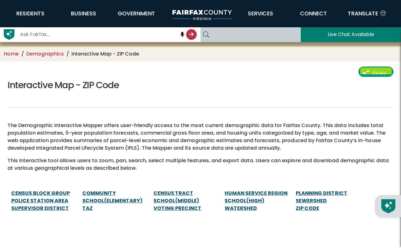
The mapper connects a ZIP to civic layers, but it does not validate a postal delivery route or identify a household at an address.
The County GIS ZIP layer exposes ZIPCODE and ZIPCITY, with a 2,000-record maximum. Preserve the service, layer number, filter, result date, and data vintage for a reusable Fairfax ZIP code research note. A map selection is best treated as a documented geography, then checked against the current postal and parcel sources.
Find Residents by Fairfax ZIP Code
A ZIP can narrow the records work before an individual address is known. The main County tool for ZIP-wide address discovery is MAR, not iCare. MAR accepts ZIP on its Address Search and can export filtered results. After that result supplies a street address or PARID, iCare can open the County assessment card. For a City address, use City WebPro and the City GIS route because MAR does not contain City of Fairfax addresses. The voter portal is a personal authenticated lookup, not a ZIP-wide voter roll.
- Use the USPS ZIP Lookup to confirm the delivery convention for a known address. Save the date because USPS answers a postal question, not a City-limit question.
- In County MAR, filter the Address Search by ZIP and add street, status, or other available fields only when needed. Export the filtered result with the query details.
- Use the County ZIP mapper to compare the selected ZIP with community, police, school, planning, or supervisor layers. That helps explain why records may be held by different local offices.
- Pass the returned address or PARID to iCare for a County parcel card, or use City WebPro for a City parcel. Follow a deed only after the record identifies the appropriate legal-description or instrument lead.
Once a ZIP search has narrowed to a named road and number, the Fairfax Street Directory provides the fuller address-by-address record chain.
Filter Fairfax ZIP Code Records
MAR’s ZIP filter is part of a wider address and street search, which prevents a ZIP result from becoming a blind list. Combine it with an address number, street name and type, city, parcel ID, subdivision, date, or status only when the research question requires it. The Parcel mode can validate a parcel with or without an address. Street mode can include street names with and without assigned addresses. Filtered results appear in a table and map and can be exported as CSV.
| MAR field or action | Type | Required | Fairfax ZIP search use |
|---|---|---|---|
| ZIP | Text | No | Limits Address Search to a ZIP-wide County address set. |
| Address Number | Text | No | Refines a ZIP result to a known number. |
| Street Name and Street Type | Text and dropdown | No | Preserves the road wording and suffix inside the selected ZIP. |
| City and Subdivision | Text or dropdown | No | Helps distinguish locality labels and subdivision context. |
| Parcel ID | Text | No | Connects a ZIP-filtered address with a County parcel relation. |
| Created, Expired, and Status | Date pairs and dropdown | No | Separates current, historical, or all address sites. |
| Export | Map or table action | No | Saves the filtered or complete result; record the date and filters. |
The County MAR portal is authoritative for the County address-site question, but it does not supply Department of Tax Administration assessment data. That deliberate split is useful: MAR answers where the County recognizes a site, while the assessment card answers what property record is attached.
Separate Fairfax ZIP Code Jurisdictions
The City of Fairfax is an independent city of roughly six square miles. It has its own assessment, permit, clerk, and related municipal systems alongside the County systems. Shared ZIPs do not merge those custodians. A County address with a Fairfax mailing city belongs in County MAR and iCare; a City address needs the City property and permit systems. The City’s 2035 planning material identifies three shared ZIP areas inside City limits and says each also reaches into Fairfax County.
Use Fairfax City WebPro for a City parcel search. City WebPro is property-oriented, not a confirmed ZIP-wide browse tool, so use its location or address route after the ZIP has been narrowed. County iCare likewise has no ZIP field on its captured address form. It accepts an address or map number after MAR or the map workflow returns a location. These limits are why postal validation, map filtering, and parcel research are separate steps.
Note: Record both the postal label and the City or County custodian because a Fairfax ZIP alone cannot select the authoritative property system.
Use Fairfax ZIP Code Property Clues
County iCare becomes useful after a ZIP-filtered MAR result provides a county address or map number. The property card can show assessed value, physical characteristics, ownership display, sale dates and prices, and assessment-neighborhood sales. The County says property and ownership or sale data are updated twice weekly, and an owner may request that a name be withheld from the internet record. Treat the card as an assessment record, not proof of legal title or current occupancy. A recorded deed supplies the legal description and transfer history.
The iCare address form has address fields rather than a ZIP filter, which is why the Fairfax ZIP code directory sequence begins with MAR or the County mapper.
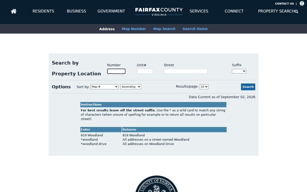
The captured fields show the handoff from ZIP geography to Number, Unit#, Street, and Suffix after an address has been identified.
For a known City parcel, City WebPro can show Parcel ID, location or situs address, owner, year built, property type, total value, lot size, sale date, sale price, and book/page. Compare the address, jurisdiction, and source date before following the book/page into the applicable land-records path.
Read Fairfax ZIP Code Civic Layers
The County ZIP mapper can crosswalk a Fairfax ZIP with census, community, planning district, police district, school boundary, and supervisor-district layers. My Neighborhood answers a different address-level question by returning nearby voting, schools, police and fire, libraries, post offices, health facilities, parks, and nearby crime information. These government layers are useful for locating the right office or understanding a map result. They do not establish membership, attendance, service use, or any personal characteristic.
Retain locality wording exactly as returned, including City of Fairfax, Fairfax County, Old Town, Merrifield-adjacent, or a named subdivision. A neighborhood name is context, not a legal municipality. The ZIP mapper can show why one Fairfax postal label leads to several civic geographies, which is especially important before requesting a City record or a County record.
Define Fairfax ZIP Code Boundaries
A ZIP code is a postal geography, while a City boundary, parcel line, voter locality, and court jurisdiction are administrative or legal questions. USPS validates delivery conventions. MAR identifies County address sites. iCare and City WebPro connect an address to separate property systems. For historic work, MAR status, a deed’s legal description, historic maps, and dated directories can bridge the gap between an older address and a current ZIP without assuming the current code always applied.
- ZIP code
- A postal delivery geography. It can cross City, County, community, school, and other civic boundaries.
- ZIP+4
- An added delivery segment used with a ZIP code for more precise mail sorting; it does not establish municipal jurisdiction.
- PO-box ZIP
- A ZIP used for post-office box service. The captured Fairfax research did not confirm the exact 22035 scope, so verify it by address.
- Unique ZIP
- A ZIP associated with a single organization or delivery arrangement. Do not assume one exists locally unless the live postal result confirms it.
- Carrier route
- A mail-delivery grouping. It is not a parcel boundary, resident roster, or City-limit line.
Use the right record. A Fairfax ZIP helps organize a search, but the parcel, recorded deed, and proper City or County custodian determine the next reliable record route.