
Trace a Fairfax Street by Address
A useful Fairfax street search moves from a location to the records attached to it. Preserve the number and exact suffix before trying a shortened form. In the county, MAR can establish whether a site or street is current or historical, while iCare can return an assessment link and map number. In the City of Fairfax, use the City property system instead. A name on an assessment card is an ownership display, not proof of present occupancy. The stronger sequence keeps the address, parcel identifier, source date, and jurisdiction together at every step.
- Check the address in the County Master Address Repository when it is a county address. Record the street spelling, type, status, ZIP, parcel relation, and any created or expired dates.
- Run the same county address through iCare address search. Save the parcel or map number and the displayed update date before treating the card as a property lead.
- For a City address, switch to the Fairfax City WebPro database and the City permit route. County MAR expressly excludes City of Fairfax addresses.
- Use the parcel number, legal description, or prior reference to reach the Circuit Court deed trail. Confirm recorded ownership with the instrument, not with a map line or mailing address.
- For an older address association, compare dated maps and reverse directories at the Virginia Room. The result can be a historical lead, but it cannot establish uninterrupted occupancy.
That chain keeps the street directory focused on records keyed to an address. It also makes a missing hit meaningful: an old street name, a changed suffix, a City address in a County tool, or a retired site can all explain it.
Fairfax Street Directory Record Sets
Different Fairfax street records answer different questions. MAR identifies a County-recognized address site and its status. iCare is the County assessment record. City WebPro is the City counterpart. Deeds record legal transfers, while the GIS map series supplies map context. Permit records may identify a project, status, review, or public document tied to a location. None of these sources creates a public household roster. Keep a result labeled by its source and date, especially when a street crosses a postal, municipal, or subdivision boundary.
| Address record | Street key | What it can show | Access route and limit |
|---|---|---|---|
| MAR Address or Street | Number, street, type, city, ZIP, parcel, status | Current or historical sites and address-to-parcel relations | Free County search and CSV export; City of Fairfax is excluded |
| County iCare | Number, unit, street, suffix, or map number | Assessment owner display, characteristics, value, and sales | Free County portal; updated twice weekly; not title or occupancy |
| City WebPro | Location, parcel ID, owner, or property filters | City parcel, use, size, sale, and book/page fields | Free City portal; owner display may be withheld |
| Digital Map Viewer | Tax-map grid, address, or map click | Property-map sheets and parcel context | Free PDF map products; boundaries are reference material |
| Circuit Court land records | Legal description, PARID, parties, book/page | Transfers, easements, and prior instrument references | Research Room, HRC, public terminals, CPAN, or copy request |
| City or County permits | Address, parcel, record number, owner keyword | Project location, record type, dates, reviews, and public documents | City Accela or County PLUS; historical coverage varies |
County property data is managed by the Department of Tax Administration, while GIS draws the mapped boundaries. Use the recorded deed for the legal description and a licensed surveyor for a precise boundary. Fairfax County map books and property-map series offer annual material back to about 1960, but an apparent parcel edge is not a title opinion.
Note: Keep the exact street suffix and the retrieval date with every search result so a later review can reproduce the record trail.
Search Fairfax iCare Street Records
County iCare is the practical next stop after MAR identifies a County address. Its address screen has Number, Unit#, Street, and Suffix fields, plus sorting and results-per-page controls. The help text says to omit the suffix for the best results and supports an asterisk for a partial street search. The captured examples include a full number and street, a wildcard before a street name, and a wildcard paired with a street type. Use the result to open a parcel card, then retain the situs address, map number, owner-display status, sale history, characteristics, and displayed update date.
The County iCare address form shows the controls used for a Fairfax street directory search.
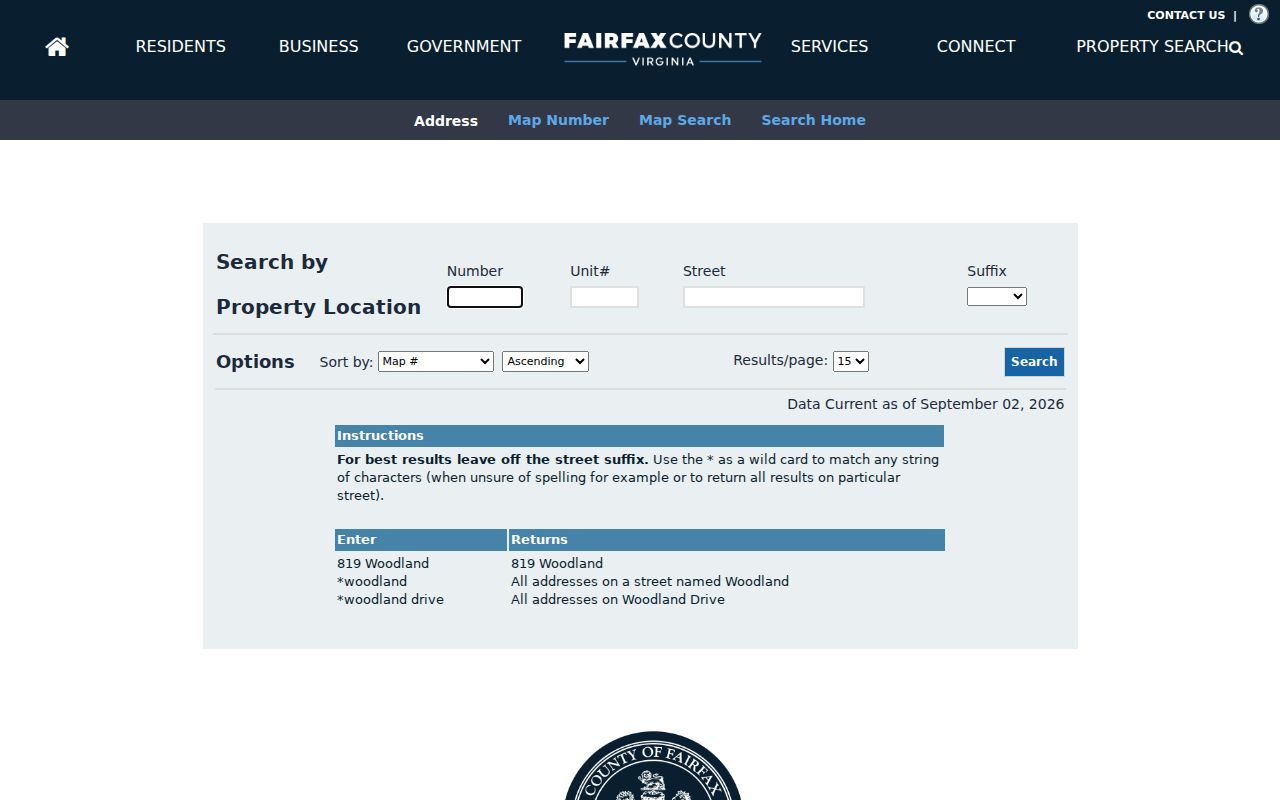
The screen is a discovery tool: it produces the address-to-parcel lead that should be checked against MAR and the recorded instrument.
| iCare field or control | Format and use |
|---|---|
| Number | Optional text field for the street number. |
| Unit# | Optional text field for a unit or apartment identifier. |
| Street | Optional text field; the help text supports wildcard searching. |
| Suffix | Optional dropdown; the complete option list was not exposed in the captured page. |
| Map Number | Required only in map-number mode; full or partial values support wildcards. |
| Map Search | Includes parcel selection, buffer controls, print/export, and map-image tools. |
When an address is uncertain but a deed or historic index yields a PARID or map number, the separate Map Number mode accepts all or part of the value. It is a better Fairfax street-directory route than forcing an old address into the normal address fields.
Check Fairfax MAR Street Status
MAR is the County’s address-site repository, not the assessment roll. Its Address, Parcel, and Street modes can filter by address number, street name and type, city, ZIP, parcel ID, subdivision, created date, expired date, and status. Street results can distinguish a named street with assigned addresses from one with no assigned address, and the status choices include current, historical, or all. The table and map narrow with the filters, and the County allows filtered or complete results to be exported as CSV.
Use the export as a dated research snapshot. Record the filter values, source date, and whether current, historical, or all status was selected. A retired MAR address does not establish who was there at a given time; it signals that a researcher should compare directory years, deed dates, permit numbers, and historic map labels. For a street-level history, that distinction keeps a Fairfax street directory from turning a modern address into a false historical match.
- Parcel
- A land unit used in property and tax mapping. It can be linked to an address, but it is not itself proof of a resident.
- Situs address
- The physical property location shown in a property record, which can differ from a tax mailing address.
- Plat
- A recorded map that describes lots, streets, or subdivisions. It is distinct from a general GIS display.
- Criss-cross directory
- An older directory arranged by address or street, used as a dated lead rather than a current household list.
Separate Fairfax City Street Records
Fairfax is a two-jurisdiction street search. The City of Fairfax is an independent city, although it is surrounded by Fairfax County and serves as the county seat. City addresses commonly use 22030, 22031, or 22032, but the postal label does not decide the government custodian. County iCare and MAR do not answer every City question, and MAR specifically excludes City addresses. Start with the municipal boundary before deciding that a County property result is a failed street search.
For a City location, use City WebPro for the parcel and property route and City Accela for City permit records. For a County location, iCare and MAR remain the property and address tools, and the County permit library documents the PLUS route. The office names, portal jurisdiction, and source date belong in the same note as the address.
Note: A Fairfax mailing label or shared ZIP is not a City-limit test, so verify the City or County custodian before comparing parcels.
Check Fairfax Street Permit Records
Permit records are an address-keyed layer that may help explain work at a Fairfax location without identifying who lived there. The County route is PLUS; the City route is Accela. The research describes searches by address, parcel, record number, and owner keyword, with results that can identify a project location, record type, status, dates, reviews, and public documents. Coverage is not uniform across older work, so a no-result screen should be recorded as an index result rather than a conclusion that nothing occurred at the address.
Pair a permit result with the parcel and the correct municipal jurisdiction. If a date matters, preserve the record number, source date, and any displayed public-document link. Keep a project record separate from an occupancy claim.
Follow Fairfax Street Deed Links
Once an address or PARID points to a tract, the Fairfax Circuit Court land-record trail can test the property history. Record the instrument number or deed book and page, recording date, deed date, grantor, grantee, consideration, legal description, easements, and prior-deed reference. A grantor transfers property; a grantee receives it. Those terms describe the transaction parties, not a complete list of people connected to the street. Follow each prior reference one step at a time rather than relying on an assessment label.
The Historic Records Center deed guidance describes the Fairfax deed holdings and the fields that help anchor a street search.
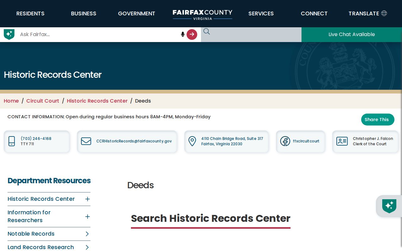
Book and page references make the street-level lead retrievable at the proper custodian instead of depending on an informal ownership summary.
The public routes are not identical. The Land Records Research Room supports self-research on weekdays from 8:00 a.m. to 4:30 p.m.; deed books before 1945 are at the Historic Records Center in Suite 317. Public terminals offer digitized images, while remote document access can run through the subscription-based Court Public Access Network. A mailed or in-person copy request needs an instrument number or book/page. Certified copies cost $2 per document plus $0.50 per page; mail requests include payment and a self-addressed stamped envelope, with a captured estimate of about two weeks.
The Circuit Court research page illustrates the counter route that remains available when a web search does not supply a record.
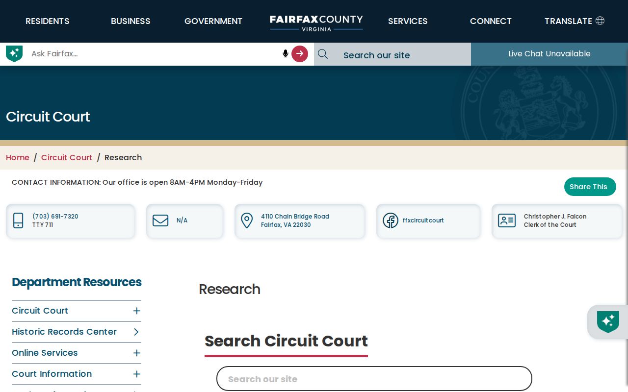
Fairfax land records reach from 1742 to the present, but early materials have documented gaps and should be read with the relevant finding aids.
Read Fairfax Street Map Evidence
Historic-property research adds a useful time layer to the Fairfax street directory. The County’s guidance directs researchers to current iCare or MAR parcel information, the Circuit Court legal description and prior instrument, historic maps, the County inventory, the Virginia Historical Inventory, and Virginia Room photographs or newspapers. The G. M. Hopkins atlas of 1879 can supply owner names, roads, structures, and landmarks that generate a deed, tax-book, probate, or newspaper search. It does not prove that a current structure survives or that every occupant was recorded.
The County historic-property research guidance lays out the Fairfax map, deed, and library sequence.
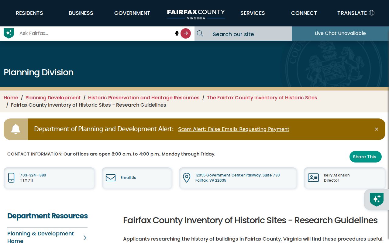
Sanborn coverage generally begins around 1885 and continues into the 1960s, so record the map title, year, sheet, label, and nearby landmarks before drawing a street conclusion.
The Virginia Room supplies local-history collections, maps, directories, microform readers, and a CPAN station. Older address volumes belong to the historical layer; a natural next step for learning how those directory entries are organized is the Fairfax City Directory collection page.
Respect Fairfax Street Voter Limits
Virginia’s Citizen Portal is a personal lookup, not a street roster. Its View Your Info route asks for a voter’s name, date of birth, last four Social Security digits, locality, and certification that the requester is the voter. It can return registration status, polling place, districts, absentee or early-voting information, and voting history when the inputs match. Those authentication fields must never be copied into a street note, and voting history does not prove continuous residence or reveal a vote choice.
The Virginia voter portal is therefore useful only for the individual voter’s authorized check. A public voter list has separate, purpose-limited access under Virginia law and may include defined fields such as name, residence address, year of birth, gender, and districts while excluding Social Security numbers, day and month of birth, and protected replacement addresses. No public Fairfax block-level voter search interface was located in the research.
Fairfax Street Directory Limits
A Fairfax street record can associate a date, parcel, transaction, or official address with a person or organization. It cannot establish an entire household, uninterrupted occupancy, personal relationships, or a protected physical address. Owner names can be withheld from iCare’s internet display on request. Motor-vehicle records remain restricted, and a missing result can reflect a jurisdiction error, historical address, sealed or withheld material, different record series, or an index limitation rather than a final answer.
Lawful use. Use Fairfax address records for personal, lawful research and never to stalk, harass, intimidate, or reverse-engineer a protected address. Virginia’s Address Confidentiality Program provides eligible participants a substitute mailing address and mail forwarding.
For County administrative records unavailable through a portal, a reasonably specific request can go through the Fairfax County VFOIA route. Virginia’s public-records law generally requires a response within five working days, with a permitted extension in the ordinary case. Ask the actual custodian for the record series, describe the address and date range, and preserve any exemption or no-record response.
Note: Do not turn a public parcel, map, voter, or deed reference into a claim about present residence without a source that supports it.